How Much To Paint A House Exterior?
Do you feel your home is need of a lift to enhance its visual appeal or give it some TLC? In order to impress your visitor or potential buyers, kerb appeal is simply everything. Many homeowners are usually discouraged due to the thought that a painting job is always an expensive one with not so much value in return. However, in reality, painting your home’s exterior is actually one of the most significant improvements one can make as it tells your story and communicates your value.
The cost of getting a house exterior painting job done is based on a number of things which includes the type of walls you possess, whether it’s a maintenance project, whether it’s your first time of painting the house as well as your location. So what’s involved in a painting job?
✓ Scrapping off the loose paint.
✓ Brushing off cobwebs and dust on the surface
✓ Washing the wall
✓ Application of fungicide to mouldy patches
✓ Repairing minor damages
✓ Applying paint surface stabiliser
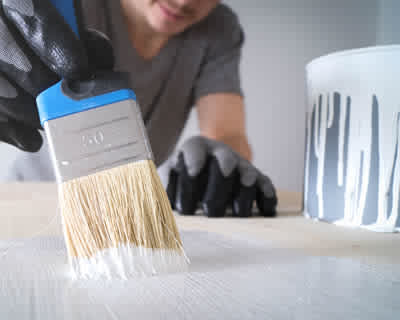
✓ Applying two coats of your chosen paint
✓ Disposal of waste as well as a full clean up of the site.
Below is a breakdown of the cost of painting the exterior of a house. Kindly note that this is just an example (using a semi detached house) to give you an idea of how much your project is going to cost.
✓ Costly scaffolding isn’t required here but platform towers can be need - this will cost about £80 to £100.
✓ Materials including sand or cement for repairs, plastic sheeting, tape, paint, masonry stabiliser as well as fungicide treatment will cost about £200 to £300
✓ Cost of labour for two workers £700 to £1000 based on the location