Unfortunately, you can’t fix the glass on one side of a double glazed window. That’s because they’re sealed units – once one pane of glass is broken, that will break the seal and its thermal insulation properties will be lost.
The good news is that if your window frame is still looking great, there’s no need to replace that. You can simply replace the glass in the window, which will cost much less. You can look to spend around £250 on a sealed unit, whereas a whole replacement single window may cost up to £600.
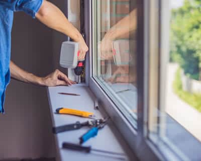
When an installer comes to replace the glass in your double glazed window, they will survey the inside and outside of your home around the window, then move any furniture by the window so they’ve got access. They should then pop a dust sheet down to stop any debris from getting on your floor.
Then, the installer will carefully remove the beads from the frame. They will then lift the glass out of the frame and put it somewhere safe before cleaning out all of the dust and any debris that has found its way into the frame. Using spacers at the bottom of the frame, the installer will make sure that the sealed unit is square in the frame to get a good fit. Once they’re happy, they will replace the beading and make sure it looks perfect before cleaning up their tools.
You could have a go at replacing the glass on a double glazed window yourself, but it’s not recommended. Leave it to the professionals who will know exactly what to do and will be able to do it quickly and safely.